Showing posts with label cumbria coastal path. Show all posts

A Bracing Visit To The Cumbrian Coast.

A set of photos taken at high tide at Harrington near Workington. 

I had hoped for rougher seas as high winds had been forecast but it was pretty tame. In the past I gave seen them breaking over the harbour wall but never mind, I still had a nice walk along the cliff tops and took some reasonable photos.

Its industrial history, which largely ended in the late 1930s, included an Iron works, coal mining, and steel making, plus it once had five railway stations, but only one has survived. Evidence of this history is clear for everyone to see, so consequently, Harrington will never be known as a pretty coastal town although you do get a cracking view across the Solway Firth to Dumfries and Galloway!

Harrington Pier

Harrington Slipway

Harrington Slipway

Harrington Pier

Harrington Slipway

Harrington

Harrington

Harrington

Harrington

Harrington

Harrington

Breakwater

Solway Firth

Harrington

Erosion

Coastal Erosion

Harrington

Harrington


Maryport Rocks!

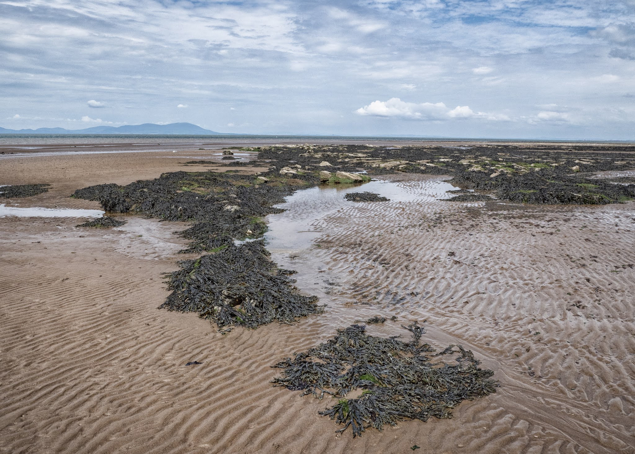
Question...where can you go in Cumbria for some quiet photography on a sunny day when The Lake District is full to bursting? Answer...Maryport beach when the tide is out. 

The rocks on Maryport's North Beach are from the Sherwood Sandstone group. The Sherwood Sandstone Group, formerly known as the Bunter Sandstone, predominantly consists of sandstone and pebbly sandstone with lesser amounts of conglomerate and minor amounts of mudstone and siltstone and was deposited between 230 and 260 million years ago in the late Permian and Triassic periods. They are found in northwest England as far north as Carlisle (and extending just into Scotland around Annan and Gretna) and in the Vale of Eden and then extending down the Cumbrian coast into Lancashire and Cheshire. There is also a band running from Nottinghamshire up to Durham and the North East Coast.

Erosion by the sea has made the rocks form into lots of weird and wonderful shapes with many channels cutting through them, plus it's many pools have become a haven from small crabs and other shellfish. You can always  see people on the beach collecting shellfish when the tide is out. 

I'm always drawn to the coast though; the North West Coast of Scotland is an area I truly connect with but it's just a pity that I found it late on in my life. The stretch of coast and countryside between Gairloch and Lochinver is my idea of heaven, and I feel so privileged to be able to visit it every year. Also, I love my local Yorkshire coast, especially the Whitby area and then just a bit further northwards, the Northumberland Coast with its long sandy beaches and castles. 

The Solway is just as beautiful though but maybe in a more rugged and industrial way, both on the Cumbrian side and across the Firth on The Galloway side, where Southerness and Kippford are both firm favourites. My star sign is Pisces, so maybe that has something to do with it.


Maryport Beach

Maryport Beach

Maryport Beach

Wreckage, Maryport Beach

Rock formations, Maryport Beach

Rock formations, Maryport Beach

Rock formations, Maryport Beach

Maryport Beach

Maryport Beach

Maryport Beach

Sea channel, Maryport Beach

Seaweed, Maryport Beach

Rock formations, Maryport Beach

Rock formations, Maryport Beach

Rock formations, Maryport Beach

Rock formations, Maryport Beach

Rock formations, Maryport Beach


St Bees Coastline


A set of photos taken a few weeks ago on a day out to Whitehaven and St Bees Head with Sal. We went to St Bees first hoping that it would be quiet and thankfully it was. We were able to get a nice little walk in before the beach started to get too busy. We just walked across the bay on the sandy beach and then came back along the cliff top which has suffered a lot of erosion over the years.

The path back ran precariously close to the edge in places and you could clearly make out where previous sections had already fallen in to the sea. The ongoing erosion on the coastline had resulted in it receding 65 feet (20metres) between 1946 and the present day.

The sea thrift and coastal buttercups were in full flower on the cliff tops and were situated at such an angle as to give some great photo opportunities so sorry if I have overloaded this blog with them but I think they do look pretty and may possibly not be there then next time I visit.

We both love Whitehaven, even though the main town itself is very run down these day but then again where isn't, especially on the west coast of Cumbria. Its saving grace is it's Marnia and harbour area, where an excellent cafe is to be found. I haven't posted any photos of Whitehaven as I think I have already posted everything there is to see in previous blogs. In fact I think I only took one and that was the obligatory shot of the lighthouse; it was enoug to simply wander about with Sal and just relax.

Rocky Shoreline

St Bees Head

Rape Field, St Bees Head

St Bees Bay

St Bees Bay

The Cliff Path

Erosion on The Cliff Path

Looking out to sea

Sea Thrift

Coastal Erosion

Sea Thrift

Sea Thrift

St Bees Beach

St Bees Beach

St Bees Beach

Tarn Hows

Tarn Hows, which is a man made lake, was developed from three smaller tarns - which were known as High Tarn, Low Tarn and Middle Tarn. The s...