Showing posts with label devon. Show all posts

A Day On Exmoor

Our customary day out to Lynton and Lynmouth via Porlock Hill. We were blessed with lovely sunshine and fluffy clouds and had a stunning clear view across The Bristol Channel  and along the Somerset/Devon Coastline.

We used the funicular railway to get up to Lynton. The Cliff Railway opened in 1890 and is the highest and the steepest totally water powered railway in the world and is a must for and visitor. Before boarding we went in the Pavilion Cafe for a coffee which was very nice, the man serving on was very friendly to say the least!

On our way back to base we came across a herd of Exmoor ponies and got some lovely pics of them. In the evening we drove up the Moor Road above Minehead and experience an incredible sunset from the top of Bossington Hill.

What a way to end our holiday!

Porlock Hill

Sal, Porlock Hill

Porlock Hill

Clouds over The Bristol Channel

Clouds over The Bristol Channel

Porlock Hill

Lynmouth

Lynmouth

Lynmouth

Lynmouth

Funicular Railway


Exmoor Ponies

Exmoor Ponies

Sunset from Bossington Hill

Exmoor Ponies

Exmoor Ponies

Exmoor Ponies

Sunset from Bossington Hill

Sunset from Bossington Hill

Sunset from Bossington Hill

Sunset from Bossington Hill


On The Border

 Malmsmeade and Badgworthy Water, the home of Lorna Doone. Situated slap bang on the Somerset and Devon border.

The well known 'Doone village' is set in a valley scattered with patches of scree. There are traces of stone walls thought to be from the 12th century. These were once the homes of a remote farming community living on the edge of Exmoor. Today these medieval houses and field terraces are some of the best preserved of this type in south-west England. The picturesque Packhorse bridge over the river dates from the 17th century and the ford is even older.

A visit to The Buttery Tearoom riverside garden is a must. We went in may when the bluebells and whitebells were out and spent a good while watching the cars gingerly going over the narrow bridge or driving through the ford whilst enjoying excellent cappuccinos.

The footpath through the valley can either be accessed by paying a 50p toll and following the delightful Badgworthy Water or by walking up a steepish lane and joining the riverside path further along the dale. As you can tell from the photos, we paid the toll.

As with most places these days, at busy times of the year it can be overrun with visitors, but our visit coincided with the funeral of Queen Elizabeth so the place was very quiet.

Malmsmeade

Malmsmeade

Malmsmeade

Malmsmeade

Malmsmeade

The Buttery Riverside Garden

Badgworthy Water

Badgworthy Water

Badgworthy Water

Badgworthy Water

Badgworthy Water

Badgworthy Water

Badgworthy Water

Badgworthy Water

Badgworthy Water


Lynmouth, The Valley of Rocks and Watersmeet

 I love Lynmouth and Lynton, if it wasn't so busy I think I could spend a holiday there. Lynmouth straddles the confluence of the West Lyn and East Lyn rivers, in a gorge 700 feet below Lynton, which was the only place to expand to once Lynmouth became as built-up as possible. 

 On the 15th and 16th of August 1952, a storm of tropical intensity broke over south-west England, depositing 9.0 inches of rain within 24 hours on the already saturated soil of Exmoor. It is thought that a cold front scooped up a thunderstorm, causing debris-laden floodwaters to cascade down the northern escarpment of the moor, converging upon the village of Lynmouth; in particular, in the upper West Lyn valley, fallen trees and other debris formed a dam, which in due course gave way, sending a huge wave of water and debris down the river. 

Overnight, more than 100 buildings were destroyed or seriously damaged along with 28 of the 31 bridges, and 38 cars were washed out to sea. In total, 34 people died, with a further 420 made homeless. The seawall and Rhenish Tower survived the main flood, but were seriously undermined. The tower collapsed into the river the next day, causing another temporary flood. Similar floods had been recorded at Lynmouth in 1607 and 1796. After the 1952 disaster, Lynmouth was rebuilt, including diverting the river around the village. 

Opposite Lynmouth Harbour is the Flood Memorial Hall. The permanent free exhibition inside includes a scale model of the village pre-flood, along with images of the buildings which were destroyed and how to identify their sites. There are many personal accounts, photos, as well as material on the recent theory that it may have been the result of cloud-seeding experiments by the military.

Today, whilst still pretty and retaining its charm, Lynmouth is a typical resort with many cafés, restaurants and gift shops. The two villages are connected by a funicular cliff railway opened in 1890 which is the highest and the steepest, totally water powered railway in the world and one of only three in England.

We had a nice walk around the village, but again, not a lot was open due to the pandemic. We did manage to find a pub which was serving coffees, so we sat in the beer garden overlooking the harbour and had a cappuccino each. However the village was still fairly busy, so we didn't hang around too long and instead, went off in search of the romantically sounding Valley Of Rocks situated above Lynton. What a fabulously impressive place it turned out to be.

The Valley Of Rocks is thought to have been formed during the Ice Age when the ice sheet prevented the East Lyn River from reaching the sea on its normal route and was diverted westwards. When the ice sheet retreated, the river was able to resume its original path, leaving this valley riverless. Over the years, the valley has silted up to become the U-shape it is now. The right-hand side of the valley is separated from the sea by a series of rocky cliffs, along which The South West Coast Path runs. 

Dodging the showers, we managed to have a quick look around and take some ace photographs of the cliffs but, as time was pressing, we didn't really do the place justice. Hopefully the next time we go, we will stay longer and have a proper walk and explore.

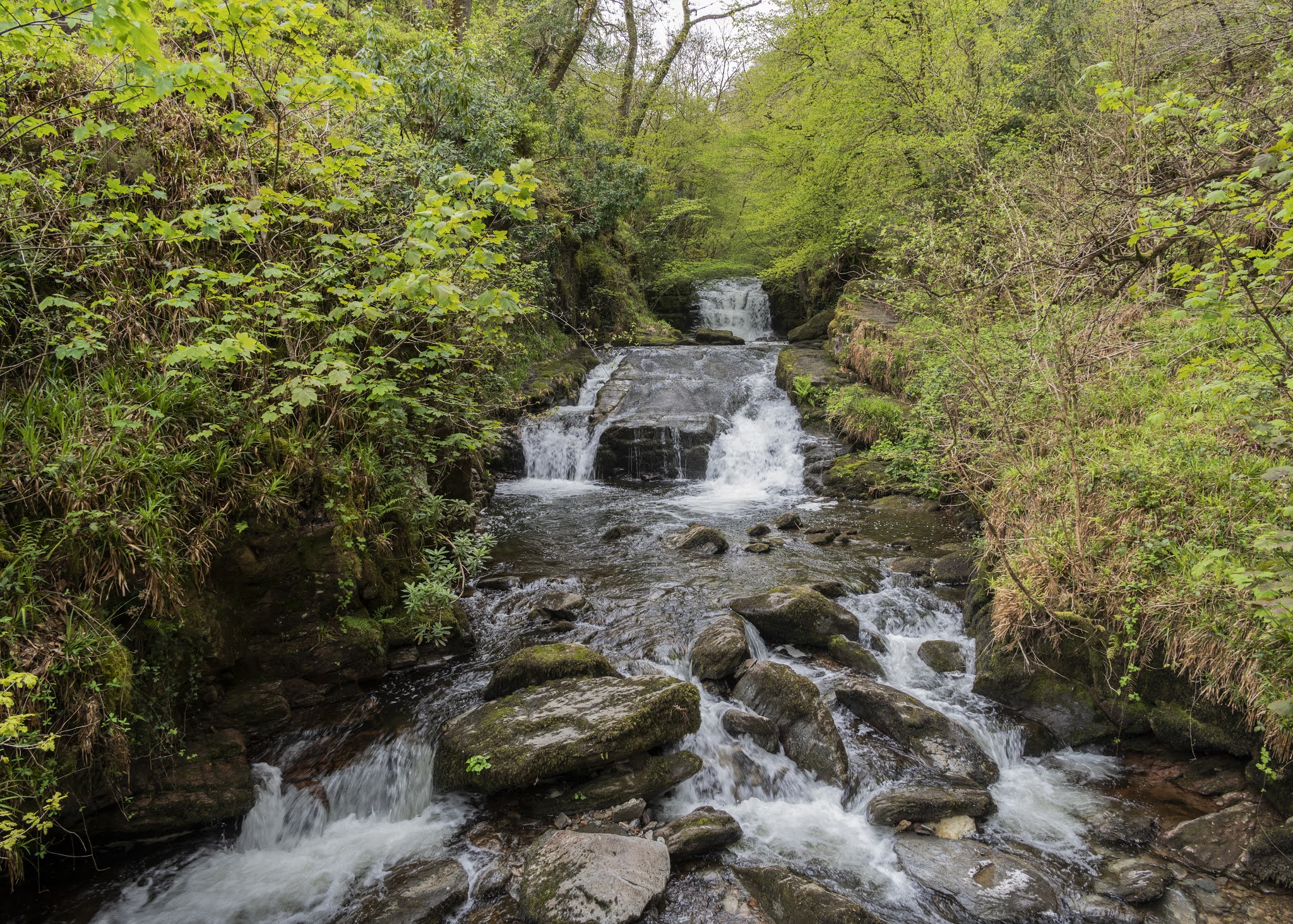
Our last port of call for the day was Watersmeet which was a couple of miles out of Lynmouth and which lies at the bottom of a steep wooded valley where the East Lyn River and Farley Waters meet in a series of waterfalls and cascades. It is one of those places where, whatever superlative you use to describe it, falls well short of the mark. It is without doubt the most beautiful woodland area I have ever visited, and every step we took was a pure joy. We walked up in to Barton Wood which is all native woodland and then back down to Watersmeet House where we sat outside and had a coffee. Come to think of it, I don't recall seeing one evergreen tree in the entire area. I should imagine it is spectacular when all the autumn colours are on show.

Reluctantly, we toiled our way out of the valley and back to the car and then drove back over Exmoor. The road we returned on came out only a stone's throw from Torre Cider farm, but sadly it was closed for the day, so it was back to Watchet. 

A long but incredible day. We had seen the best of all worlds: coastal, woodland and moorland scenery.

Porlock Bay from Exmoor

Bristol Channel from Exmoor

Exmoor Trees

Exmoor

Myrtleberry Cleave, Lynmouth

Windy Hill, Lynmouth

Lynmouth

Rhenish Tower, Lynmouth

Lynmouth

Lynmouth

Valley of Rocks

Valley of Rocks

Valley of Rocks

Valley of Rocks

Waterfall, Watersmeet

Waterfall, Watersmeet

Watersmeet

Watersmeet


Tarn Hows

Tarn Hows, which is a man made lake, was developed from three smaller tarns - which were known as High Tarn, Low Tarn and Middle Tarn. The s...