Showing posts with label loch. Show all posts

Rubha Rèidh Lighthouse

A lighthouse on Rubha Rèidh Point was first proposed by David Stevenson in 1853. Building was started by his son, David Alan Stevenson in 1908 and the light was first lit on 15 January 1912. The light came from a paraffin lamp, subsequently converted to electricity and automated in 1986. The original lens, red fog siren trumpet, along with its clockwork timing mechanism were removed and were donated to the Gairloch heritage centre.

It's great to see that the lighthouse at Rubha Rèidh is once again accessible to the general public without them having to run a gauntlet of abuse from the previous owners. The lighthouse was bought by a couple and turned in to holiday accommodation in the early 2000s. They immediately started to stop people from using the road out of Melvaig by putting a sign up saying that it was private property and only to be used by guests of the lighthouse and I believe they also put a couple of gates across the road.  This meant that anyone who wanted to visit the stunning coastal scenery of the area were faced with a four mile walk in before they even started and then a four mile walk back out.

Locals and visitors alike took up the cause to get access to the peninsula but it turned out to be a long fight with neither the police or council wanting to get involved although the Highland Council did eventually get involved and gave the owners the ultimatum of either giving access or facing court proceedings. The old owners finally left a year or so ago and the new ones seem to be a lot more amiable. There is now a small car park and even though you are not allowed on to the private land of the lighthouse, you are allowed to freely roam without fear of abuse. 

The scenery is stunning with lots of small rocky coves and even a one-time natural harbour called Port an Amaill. Most of the rock cliffs slant down to the sea hence its Gaelic name Rubha Rèidh which means The Flat Headland. We visited in sunshine and pretty calm weather but I would love to experience the place when it is in the grip of a full-on Atlantic storm!

As I said in the last blog, this was our last day in Wester Ross and I don't think we could have bettered it. The morning was spent on a beautiful white sandy beach with stunning views across to An Teallach and the Coigach and Assynt Hills whereas in contrast, the afternoon was spent on a rugged rocky headland with far-reaching views to Skye and The Outer Hebrides. 

Pure magic.


Rubha Rèidh Headland

Road down to the lighthouse

Rubha Rèidh Lighthouse

Rubha Rèidh Headland

Rubha Rèidh Lighthouse

Rubha Rèidh Headland

Rubha Rèidh Headland

Rubha Rèidh Headland


Camas a' Charraig and The Chapel of Sand of Udrigil

Yet another fabulous day and our last in the area. I have split it in to two blogs mainly for the purpose of posting photographs. 

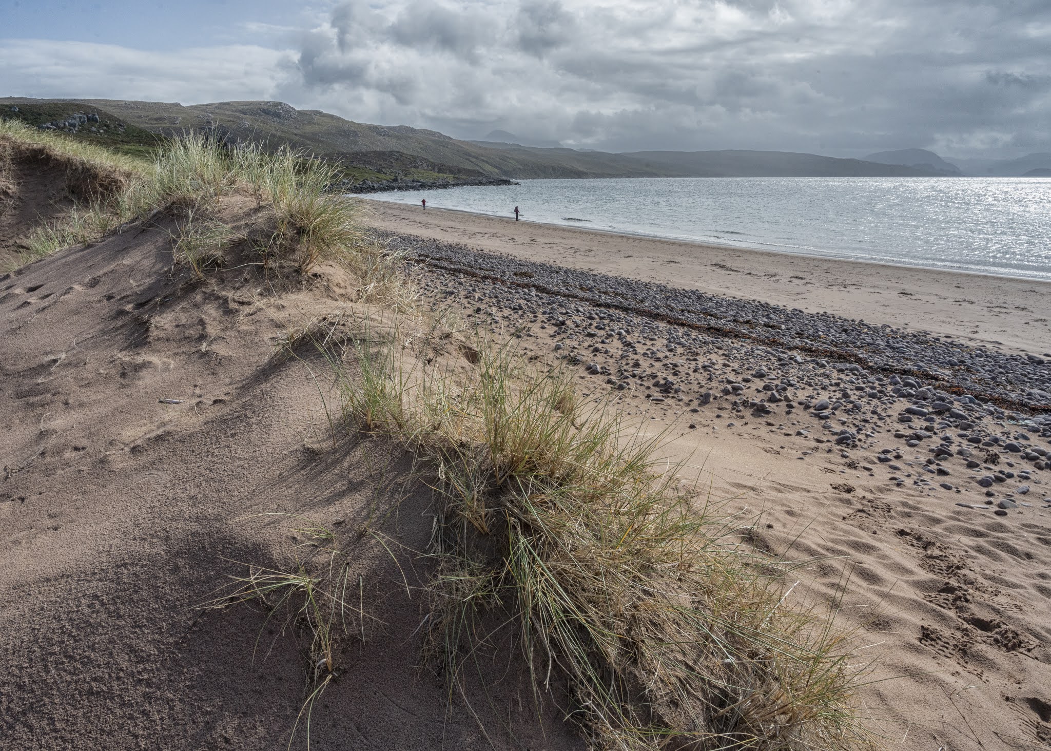
In the morning we had a drive up to the beach at Mellon Udrigle; it's proper name being Camas a' Charraig (gaelic for bay of rocks). It is probably one of the finest beaches in this area and commands views eastwards across Gruinard Bay to An Teallach and The Fisherfield Hills and northwards to the hills of Coigach, Assynt and The Summer Isles. Again the weather was just right for photography with sunshine where we were but dark foreboding fast moving clouds to the east and north. 

We both split up and did our own thing; me photographing the beach and I think Sal wandered off to do a bit of beach combing and exploring the rocks at the far end of the bay. I think it was the prospect of a squall that brought us back together. In these parts you soon learn to beat a hasty retreat at the slightest hint of a weather change. I found that out the hard way last year at Mellon Charles when I got myself and two waterproof coats soaked in the space of fifteen minutes!

Last year we also noticed an old ruined church in the nearby village of Laide but didn't have the time to investigate so today was the perfect opportunity. The Chapel of Sand of Udrigil is traditionally said to have been erected by St Columba or one of his followers in the 7th Century, although the character of the building suggests a late medieval date for the existing structure. A church building is said to have been erected about 1713 by George MacKenzie of Gruinard, but in reality it is likely that work was limited to repairs and re-thatching. The chapel seems to have remained in use for worship until at least the end of the 18th century.

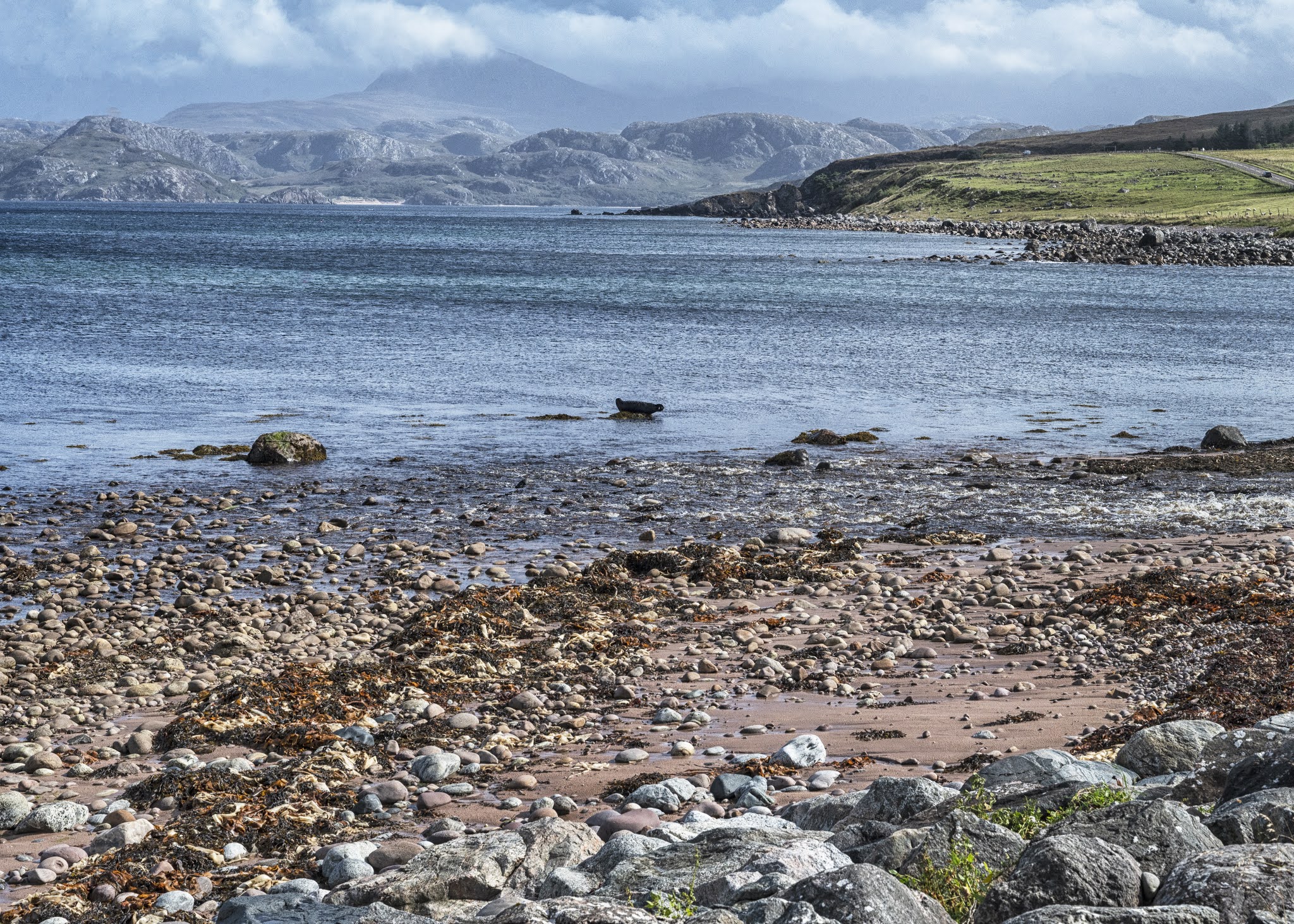
An added bonus to our visit was the sight of a small colony of seals on some rocks just offshore which could be seen from the graveyard walls. You can just about make one out in one of the photos.

Mellon Udrigle

Mellon Udrigle

Mellon Udrigle

Mellon Udrigle

Mellon Udrigle

Mellon Udrigle

Mellon Udrigle

Mellon Udrigle

Mellon Udrigle

Mellon Udrigle

Laide

Laide

The chapel of Sand of Udrigil, Laide

NC500 route Poolewe

NC500 route Poolewe


Red Point Beach and Slatterdale

 After yesterdays long drive to Lower Diabaig, we decided to have another local day and go for a short walk to one of the beaches at Red Point. There is a car park at the end of the road so most people just park up and head straight to the most accessible of the two beaches but we decided to investigate the farther of the two at the head of Upper Loch Torridon and we were both glad that we did.

It was only a short walk, taking us through a farm and across some rough pastures but it was well worth the bit of effort we put in. The beach swept round in a large curve and gave some fabulous views across to Applecross and the hills of Torridon. Unfortunately I wasn't able to catch that view on camera because, even though we had sunshine and blue skies, that area seemed to be getting some pretty abysmal weather. 

That is what makes the photography in the Highlands so special though. About five years ago I spent four nights in this area followed by three nights on Skye and I had blue skies the whole time. Whilst it was great waking up to that everyday and touring about, once I was home and I'd started to process my photos, I soon began to realise how boring they looked and soon lost interest editing them. On the other hand me and Sal came up here last year and had what can best be described as a mixed bag of weather and I took some of the best photos I think I've ever taken and the same was happening this year.

Sal walked up to the ruins of the old salmon fishing station for a nosy whilst I had a look at the sand dunes and also investigated a headland named Sgeir a Bhuic which translated from Gaelic means 'rocky island of the buck' which makes sense because when the tide is in it does become an island. We spent a good while on the beach before wandering back to the car and heading in to Gairloch to have a coffee in the harbour cafe. We also managed to get to the butty shop just before it closed and got a couple of sandwiched to take back to the cottage for a late lunch.

Later in the afternoon I got in the car and drove down to Loch Maree with my camera and called in at The Victoria Falls, named after Queen Victoria who used to be a regular visitor to The Loch Maree Hotel. There was a short circular path up to the falls where I took a couple of nice shots and then I continued on the path and took some more looking back towards Loch Maree. 

The cloud then started to pour in which ruined my attempts to get some good photos of Slioch (3218 feet) which towers above the Loch. I did manage to get one of a rainbow starting to form but it soon fizzled out. 

Knowing when to admit defeat, I returned to the cottage to put my feet up. We both agreed that the walk on Red Point beach was the most enjoyable thing we had done so far on the holiday.


Red Point Beach

Old Salmon Fishing Station

Sand Dunes, Red Point

Sand Dunes, Red Point

Sand Dunes, Red Point

Sgeir a Bhuic, Red Point

Sgeir a Bhuic, Red Point

Victoria Falls, Slatterdale

Victoria Falls, Slatterdale

Slatterdale

Slatterdale

Slatterdale

Loch Maree from Slatterdale

Loch Maree from Slatterdale

Loch Maree and Slioch

Loch Maree and Slioch

Rainbow forming, on Slioch


Over The Windy Pass to Lower Diabaig

Another day of mixed weather. As we left Badachro it was quite nice but it had clouded over by the time we reached Loch Maree. We had the odd shower as we drove down Torridon but nothing too drastic. Thankfully the Torridon Stores cafe was open so we had a coffee each and sat on one of the benches outside which was no imposition as the view is fantastic.

It started raining again as we set off for our final destination, Lower Diabaig. The narrow road followed the right hand side of Loch Torridon before rising up in a series of zig-zags to a pass named Bealach na Gaoithe which is Gaelic for The Pass of the Wind. The views back across Upper Loch Torridon and over to Applecross were stunning even though they were hampered a bit by the cloud and rain squalls sweeping across but on a clear day I reckon you could see for mile after mile.

The road then continued towards Loch Daibaigas Airde where we had even more superb albeit terrifying views. If you are afraid of heights then I'd recommend not to look down to the Loch as it is far, far below the road and it looks a pretty sheer drop! 

 The rest of the journey down to Lower Diabaig was very pleasant as the rain had stopped and it was brightening up. Lower Diabaig consisted of a lovely collection of cottages dotted on the hill-side and alongside the road which eventually lead down to the pier. There was lots more evidence that in the past it had been quite a busy fishing village and I think a few locals still fish from there but it is mainly oyster fishing. There was old fishing huts boarded up and also one or two run down cottages that were just screaming out for a bit of restoration, it was such a shame.

There was also a shipwreck just offshore called The Dayspring which broke its moorings during a hurricane in 2005 and ended up in the bay. Each time I visit there seems to be less and less remaining which I should imagine bears testament to the weather and storms this area often gets. It still makes for a cracking photo though.

There is no way out of Lower Diabaig other than the way you come in so we retraced our footsteps all the way back to Badachro. A path does lead from Lower Diabaig along the coast to Red Point, a distance of  some 8 miles and then Red Point is only 5.5 miles from Badachro but unfortunately the road journey is 40 miles! In good weather it is a beautiful 40 miles but the rain had moved in so it was a pretty grim drive back to the cottage.

Loch Torridon  


Loch Torridon


Loch Diabaig

Loch Diabaig

Lower Diabaig Pier

Lower Diabaig Pier

Lower Diabaig

Bealach na Gaoithe

Loch Diabaig

Loch Diabaig

Shipwreck,Loch Diabaig

Shipwreck, Loch Diabaig

Sal Beach Combing
 
Bealach na Gaoithe

Loch Diabaigas Airde

Loch Diabaigas Airde

Tarn Hows

Tarn Hows, which is a man made lake, was developed from three smaller tarns - which were known as High Tarn, Low Tarn and Middle Tarn. The s...