Showing posts with label sunrise. Show all posts

Hebridean Skies

Just returned from a weeks holiday in the far North West, staying in the idyllic coastal village of Badachro near Gairloch. I've stayed there three times now and done many blogs on the area so, rather than just repeat myself, I've put together a series of shots of the fabulous skies you get up there. 

One is of a sunrise taken directly outside our holiday let on the first morning, most of the others are taken around sunset time with just a few taken during the day. All are of the coastline around the Gairloch area and go from Red Point in the south to Mellon Udrigle in the north.

Badachro Sunrise

Gairloch Beach

Skye from Gairloch Beach

Red Point

Red Point

Sunburst from Opinan Beach

Red Point

Mellon Udrigle

Gairloch Beach

Mellon Udrigle

Skye from Red Point

Gairloch Beach

Melvaig Sky

Melvaig Sky

Cul Mor from Mellon Udrigle

The Torridon Hills across Loch Gairloch
Gairloch Beach


Gairloch Beach

Mellon Charles 

Clouds over Skye

Across to Skye from Red Point

Red Point

Red Point

Early Morning, Derwentwater

 An early morning visit to the shores of Derwentwater, timing it perfectly to get the sun starting to illuminate Catbells and The North Western Fells. Most photos were taken from the bit of shoreline between the landing stages and Friars Crag. Also a few were taken from Strandshag Bay.

The reflections were disturbed as the lake started to come to life; a group of canoeists were first to appear and then the launches kicked in to life. I don't have a problem with that, the lake is for everyone to enjoy. 

Also a slight breeze developed and my stomach started to rumble so I headed back to base, stopping of at the lovely little community cafe in Threlkeld for a sausage sarnie and a cappuccino. I think I earned it.

Looking Down Borrowdale

Castle Crag, Borrowdale

Derwent Isle Boathouse

Cloud on Maiden Moor

Sunlight Hitting Catbells

Derwentwater

Sunlight Hitting Catbells

Strandshag Bay

Friars Crag

Friars Crag From Strandshag Bay

Memorial Flowers, Strandshag Bay

Sunlight on Reeds

Towards Lord Isle


Sunrise in Malhamdale

These photos of the spinney at Eshton were take nearly a month ago on an early morning drive up to The Lake District. I had wanted to set off a bit earlier and get up to The Lakes before the sun rose but it wasn't to be. As luck would have it though, the turn off for Malham was on my way so it was only a short detour to my journey and I was well rewarded.

It was a cold and frosty morning and the low sun gave some brilliant shadows, so much so that even the local sheep seemed impressed by it all or maybe they were just surprised and shocked that there was some idiot taking photos at that time of day!

Within minutes of me taking these photos the frost had melted and the moment gone.

Sunrising in Malhamdale

Sunrising in Malhamdale

Sunrising in Malhamdale

Looking towards Flasby Fell

Malhamdale Sunrise

Eshton Trees

Malhamdale

Malhamdale

Eshton Sunrise

Christmas Eve along The Cuckoo Way


Woke up early, there was frost on the ground, everyone else was lazing around, so what do you do? You put your boots on, grab your camera and get out.

I had two options :-
  • Kiverton Community Woodland or
  • Tommy Flockton's and The Chesterfield canal.

For a change, I opted for Tommy Flockton's or Pennyholme Marsh which forms part of The Cuckoo Way and is 46 miles long (74km). It follows the Chesterfield Canal through Nottinghamshire, South Yorkshire and Derbyshire from Chesterfield to West Stockwith and passed 36 locks and 11 bridges en route, plus it goes over the locally famous Norwood Tunnel which runs for 2,884 yards (2,637 m) from Kiveton to Killamarsh.

Pennyholme Marsh is an area of seasonally flooded shallow wetland between Kiveton Park and Harthill and sits above the blocked off Norwood Tunnel which carried the Chesterfield Canal. It can still be traced and is marked by a succession of spoil mounds from the construction shafts. It is planned to re-open the tunnel and, in time, complete the entire course of the canal for boat navigation. Tommy Flockton has long departed and the current owners of the field are now four legged.


Once past Tommy Flockton's you are at the eastern entrance of the blocked tunnel and this is where the canal towpath restarts, Going this way, the next major town is Worksop some eight miles away. I've walked parts of this section on numerous occasions and it is a real joy. First it passes Hawks Wood with its snowdrops and wild garlic and then Old Spring Wood with it's carpet of bluebells and yellow woodland anemone. Add to that the closeness of The Parish Oven pub and what's not to like?


On Christmas Eve I only did a small section of the path before turning back as breakfast was calling me. Also I had to retrace my footstep as the only other option would have been going back via the main road. The conditions were ace for photography as well. There were some super reflections on Pennyholme Moss and the thin layer of mist was just starting to break as I walked along the canal.


I do wish I had a canal as close to home. I know I have the Leeds-Liverpool Canal at Bingley but that is a car ride away whereas this was more or less on my doorstep.

What a refreshing way to start my day and start my Christmas break.


Horse in Tommy Flockton's

Horse in Tommy Flockton's

Tommy Flockton's

Tommy Flockton's

Tommy Flockton's

Tommy Flockton's

Reflection, Tommy Flockton's

Reflection

Reflection, Tommy Flockton's

Tommy Flockton's

Tommy Flockton's

Chesterfield Canal, Kiveton Park

Chesterfield Canal, Kiveton Park

Chesterfield Canal, Kiveton Park
 
Chesterfield Canal, Kiveton Park

Chesterfield Canal, Kiveton Park

Frosted Leaves

Dead tree, Tommy Flockton's

Teasel, Kiveton Community Woodland

Grasses, Kiveton Community Woodland

Chesterfield Canal at Ladyfield

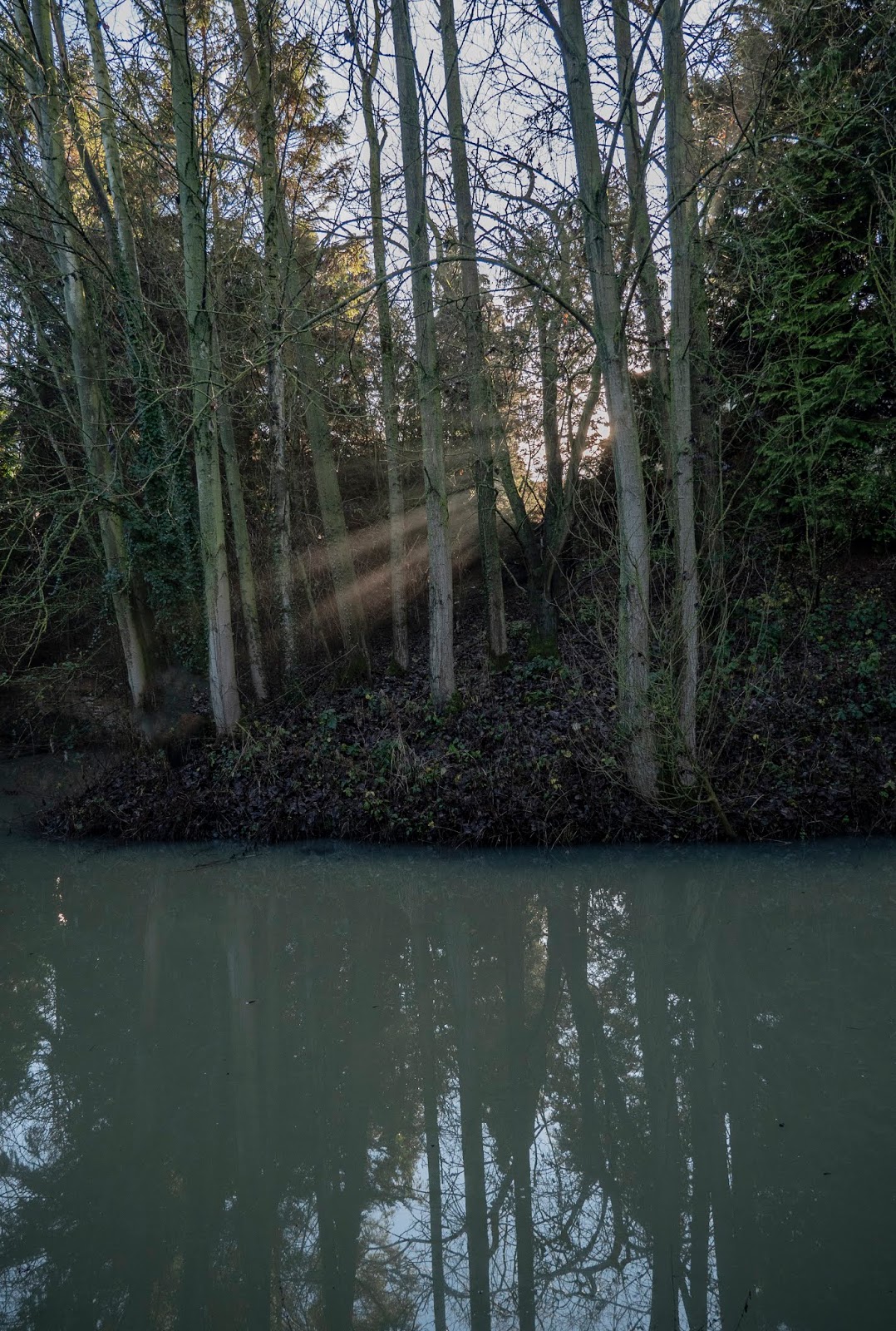
Sun Rays, Chesterfield Canal at Ladyfield

Thorpe Bridge, Chesterfield Canal at Ladyfield

Chesterfield Canal at Ladyfield

Wilderness

Wilderness, Chesterfield Canal at Ladyfield

Tarn Hows

Tarn Hows, which is a man made lake, was developed from three smaller tarns - which were known as High Tarn, Low Tarn and Middle Tarn. The s...