Loch Lochy, Eas Chia-aig and The Mile Dorcha

What a day of two halves. A morning spent watching the cloud breaking over Loch Lochy, revealing the Nevis Range in its full glory, plus a visit to Eas Chia-aig waterfall and The Mile Dorcha near Loch Arkaig and then a frustrating afternoon trying to visit the beautiful Silver Sands of Morar and Arisaig.

When I left the hotel, Loch Linnhe and Fort William were shrouded in mist, but the forecast was good, so I revisited an old favourite, Eas Chia-aig near Loch Arkaig. The two lower falls of Eas Chia-aig can be viewed quite easily from the roadside, but for the more adventurous, a path climbs up through the forest to the upper falls. There wasn't too much water coming down, so I just took the easy option, parking up and walking along the road to see the lower falls.

I had an unexpected political rant with a young couple parked up in an old VW camper van, regarding the state of the country and the shower who are trying to govern it. I would hasten to add that we were all on the same side, but it felt good, albeit quite surreal, getting things off one's chest in the middle of nowhere whilst being surrounded by such beautiful scenery. You would have though politics would have been the last thing on our minds, but I think it was me asking them if they lived in their camper van permanently or were just holidaying which started it all off, as this led to the homelessness issue and progressed to the current situation in general.

After viewing the waterfall, I walked back along the road to the Mile Dorcha, or Dark Mile. This is a deeply wooded section of road in the steep-sided valley, flanked by walls and trees carrying an incredible thickness of moss. Obviously, the place sees very little sunshine and is consequently very damp, which allows the moss to take over. This area's other claim to fame is as the alleged hiding place of a consignment of gold landed by the French at Arisaig for the Jacobites in 1746. It was reportedly hidden somewhere near Loch Arkaig, but the hiding place, it is said, has never been found. 

By now the sun had burnt the clouds off, so I got some fabulous photos of Loch Lochy, looking across to The Ben Nevis range of hills.

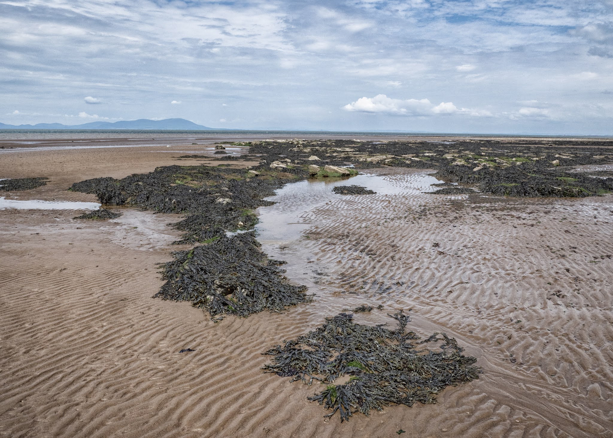
The afternoon was spent on a fruitless drive along The Road To The Isles, which runs from Fort William to Mallaig. I had wanted to visit the coastal sands which are normally very peaceful and beautiful, but I think that this year, due to the travel restrictions, everyone has flocked to the area so it was absolute chaos. The one narrow coastal road was gridlocked at one point due to inconsiderate parking.

I eventually managed to squeeze through but couldn't stop, so I headed back towards Fort William, having a short drive along the Ardnamurchan road to a small village called Glenuig where I called for a pint and sat in the beer garden adjacent to Loch Ailort. 

It was a complete contrast to the earlier shenanigans, so for the foreseeable future, I think I'll leave the Morar coastline for out of season visits.


Bunarkaig

Bunarkaig

Bunarkaig

Loch Lochy

Loch Lochy

Bunarkaig

Eas Chia-aig

Eas Chia-aig

Mile Dorcha

Mile Dorcha

Mile Dorcha

Mile Dorcha

Mile Dorcha


Mile Dorcha

Mile Dorcha

River Arkaig

Ben Nevis across Loch Lochy

Ben Nevis across Loch Lochy

Ben Nevis across Loch Lochy

Loch Lochy


Back to The Highlands

 It had been a long time, much too long a time since I was last in The Highlands, and it certainly felt great to be back. I was only up there for three nights but managed to do what I had planned to do, plus the weather was very kind to me. The only time it let me down was on my day out to Sanna Bay on the Ardnamurchan Peninsula where there was a sea haar which was OK for photography but a bit grim for coastal exploration.

On my drive up, I made a detour into The Trossachs National Park, visiting Loch Ard and Loch Chon before going over The Duke's Pass to Callander. The pass was originally built by the Duke of Montrose in the 19th century to improve access to his estate, and was later upgraded to accommodate the Victorian tourists drawn to the area after the publication of Sir Walter Scott's epic poem 'The Lady of the Lake' which celebrates the beauty of Loch Katrine. It may not have been as impressive as some of the higher passes, but what it lacked in that, it made up for in sheer beauty.

I also made a detour along the far side of Loch Tulla, and it was there where I got my first cleg attack, no midges but loads of clegs. Fortunately, I had given myself a good spraying of Smidge, so the little blighters were just bouncing off me.

I arrived at The Moorlands Hotel at Banavie early evening, settled in to my room and then had a short stroll along the Caledonian Canal's towpath. After driving for so long, it took my legs a short while to get going, but I still thoroughly enjoyed my walk in the late evening sun. 

Had a couple of beers sat outside on the hotel's patio which overlooked the canal and just watched the world go by. I can't see me staying in Fort William again, this place was perfect for my needs.

 https://twitter.com/BBCSpringwatch/status/1430439807747072001?s=20

The Trossachs

Loch Ard

Loch Ard

Loch Ard

Loch Chon

Loch Chon

The Trossachs

The Duke's Pass

The Trossachs

Ben Dorain

Loch Tulla

Loch Tulla

Loch Tulla

Loch Tulla

Loch Tulla

Loch Tulla

Loch Tulla

Loch Tulla

Caledonian Canal at Banavie

Caledonian Canal at Banavie

Caledonian Canal at Banavie

Caledonian Canal at Banavie


Maryport Rocks!

Question...where can you go in Cumbria for some quiet photography on a sunny day when The Lake District is full to bursting? Answer...Maryport beach when the tide is out. 

The rocks on Maryport's North Beach are from the Sherwood Sandstone group. The Sherwood Sandstone Group, formerly known as the Bunter Sandstone, predominantly consists of sandstone and pebbly sandstone with lesser amounts of conglomerate and minor amounts of mudstone and siltstone and was deposited between 230 and 260 million years ago in the late Permian and Triassic periods. They are found in northwest England as far north as Carlisle (and extending just into Scotland around Annan and Gretna) and in the Vale of Eden and then extending down the Cumbrian coast into Lancashire and Cheshire. There is also a band running from Nottinghamshire up to Durham and the North East Coast.

Erosion by the sea has made the rocks form into lots of weird and wonderful shapes with many channels cutting through them, plus it's many pools have become a haven from small crabs and other shellfish. You can always  see people on the beach collecting shellfish when the tide is out. 

I'm always drawn to the coast though; the North West Coast of Scotland is an area I truly connect with but it's just a pity that I found it late on in my life. The stretch of coast and countryside between Gairloch and Lochinver is my idea of heaven, and I feel so privileged to be able to visit it every year. Also, I love my local Yorkshire coast, especially the Whitby area and then just a bit further northwards, the Northumberland Coast with its long sandy beaches and castles. 

The Solway is just as beautiful though but maybe in a more rugged and industrial way, both on the Cumbrian side and across the Firth on The Galloway side, where Southerness and Kippford are both firm favourites. My star sign is Pisces, so maybe that has something to do with it.


Maryport Beach

Maryport Beach

Maryport Beach

Wreckage, Maryport Beach

Rock formations, Maryport Beach

Rock formations, Maryport Beach

Rock formations, Maryport Beach

Maryport Beach

Maryport Beach

Maryport Beach

Sea channel, Maryport Beach

Seaweed, Maryport Beach

Rock formations, Maryport Beach

Rock formations, Maryport Beach

Rock formations, Maryport Beach

Rock formations, Maryport Beach

Rock formations, Maryport Beach


Autumn Arrives Early

Photos taken locally of the start to the changing of the season on Harden Moor above Keighley in West Yorkshire. The parking and entrance t...