Showing posts with label coast. Show all posts

Loch Lochy and a Coastal Journey

After breakfast I took the back road out of Banavie to Spean Bridge but turned off it part way along to take me to Clunes on the banks of Loch Lochy. Took some good moody shots of the Loch with the distant Grey Corrie hills as a backdrop before heading along The Mile Dorcha (The Dark Mile) to Eas Chia-aig waterfall at Loch Arkaig. 

The dark mile got its name from the fact it is a narrow wooded valley which gets very little sunshine, thus the walls are all thickly covered in mosses. Legend has it that when Bonnie Prince Charlie fled Scotland, he buried a stash of gold in this area, which the French had sent him to finance the 1745 rebellion and, to this day, it has never been found. 

I then retraced my tracks and headed to the coast, stopping off at Arisag for a coffee in the harbour tearoom. It is an unlikely place to have a cafe but in my opinion, it serves the best cappuccino I have ever had. I have been there twice now and each time it's been top notch; very strong and very frothy.

There isn't much roadside parking on the Coastal Trail now but I managed to get the last parking spot at Camas Rubha a Mhurain  where I did a bit of beach combing and photography but didn't even attempt to get in to the Camusdarach car park as it was crammed full. It was be expected as it was July and the height of the holiday season so it didn't bother me too much as I like my beaches quiet.

I timed my arrival at Mallaig just as The Jacobite steam train was departing so got a good photo of it and also managed to get one of it crossing the distant Allt a' Mhama viaduct as it enters Loch nan Uamh.

Not wanting to waste such a nice day, in the evening I had a drive down Glen Nevis to both the Upper and Lower Falls. A fitting way to end a lovely, if hectic day.

Loch Lochy

Loch Lochy

Loch Lochy

Loch Lochy

The Dorcha Mile

The Dorcha Mile

The Dorcha Mile

The Dorcha Mile

The Dorcha Mile

The Dorcha Mile

The Dorcha Mile

Eas Chia-aig Waterfall

Traigh

Traigh

Traigh

Camas Rubha a Mhurain

Camas Rubha a Mhurain

Camas Rubha a Mhurain

Camas Rubha a Mhurain

Camas Rubha a Mhurain

The Jacobite

Loch nan Uamh

Glen Nevis

Upper Falls, Glen Nevis

Upper Falls, Glen Nevis

Upper Falls, Glen Nevis

Glen Nevis

Lower Falls, Glen Nevis

Lower Falls, Glen Nevis


A Bracing Visit To The Cumbrian Coast.

A set of photos taken at high tide at Harrington near Workington. 

I had hoped for rougher seas as high winds had been forecast but it was pretty tame. In the past I gave seen them breaking over the harbour wall but never mind, I still had a nice walk along the cliff tops and took some reasonable photos.

Its industrial history, which largely ended in the late 1930s, included an Iron works, coal mining, and steel making, plus it once had five railway stations, but only one has survived. Evidence of this history is clear for everyone to see, so consequently, Harrington will never be known as a pretty coastal town although you do get a cracking view across the Solway Firth to Dumfries and Galloway!

Harrington Pier

Harrington Slipway

Harrington Slipway

Harrington Pier

Harrington Slipway

Harrington

Harrington

Harrington

Harrington

Harrington

Harrington

Breakwater

Solway Firth

Harrington

Erosion

Coastal Erosion

Harrington

Harrington


Maryport Rocks!

Question...where can you go in Cumbria for some quiet photography on a sunny day when The Lake District is full to bursting? Answer...Maryport beach when the tide is out. 

The rocks on Maryport's North Beach are from the Sherwood Sandstone group. The Sherwood Sandstone Group, formerly known as the Bunter Sandstone, predominantly consists of sandstone and pebbly sandstone with lesser amounts of conglomerate and minor amounts of mudstone and siltstone and was deposited between 230 and 260 million years ago in the late Permian and Triassic periods. They are found in northwest England as far north as Carlisle (and extending just into Scotland around Annan and Gretna) and in the Vale of Eden and then extending down the Cumbrian coast into Lancashire and Cheshire. There is also a band running from Nottinghamshire up to Durham and the North East Coast.

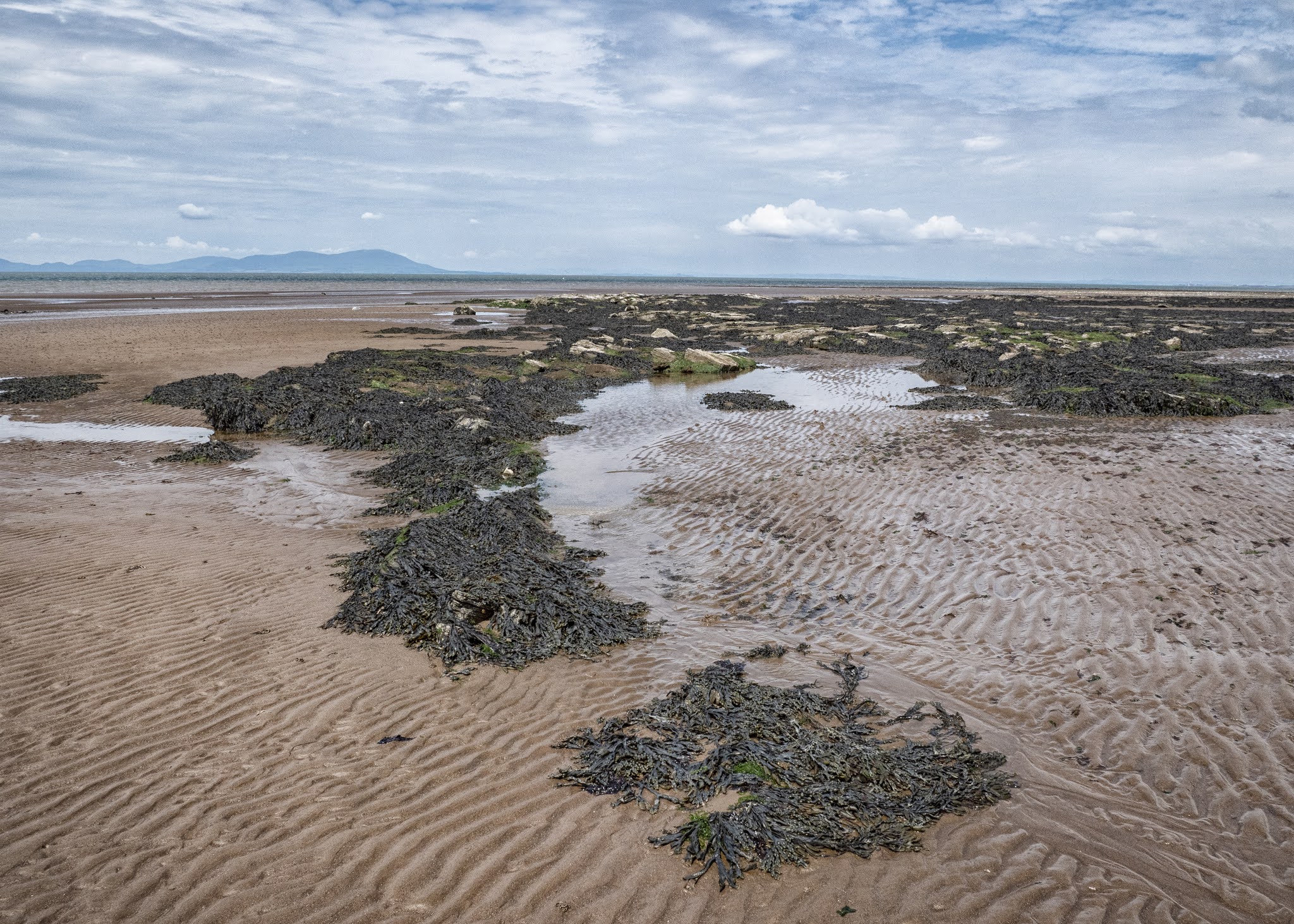
Erosion by the sea has made the rocks form into lots of weird and wonderful shapes with many channels cutting through them, plus it's many pools have become a haven from small crabs and other shellfish. You can always  see people on the beach collecting shellfish when the tide is out. 

I'm always drawn to the coast though; the North West Coast of Scotland is an area I truly connect with but it's just a pity that I found it late on in my life. The stretch of coast and countryside between Gairloch and Lochinver is my idea of heaven, and I feel so privileged to be able to visit it every year. Also, I love my local Yorkshire coast, especially the Whitby area and then just a bit further northwards, the Northumberland Coast with its long sandy beaches and castles. 

The Solway is just as beautiful though but maybe in a more rugged and industrial way, both on the Cumbrian side and across the Firth on The Galloway side, where Southerness and Kippford are both firm favourites. My star sign is Pisces, so maybe that has something to do with it.


Maryport Beach

Maryport Beach

Maryport Beach

Wreckage, Maryport Beach

Rock formations, Maryport Beach

Rock formations, Maryport Beach

Rock formations, Maryport Beach

Maryport Beach

Maryport Beach

Maryport Beach

Sea channel, Maryport Beach

Seaweed, Maryport Beach

Rock formations, Maryport Beach

Rock formations, Maryport Beach

Rock formations, Maryport Beach

Rock formations, Maryport Beach

Rock formations, Maryport Beach


Tarn Hows

Tarn Hows, which is a man made lake, was developed from three smaller tarns - which were known as High Tarn, Low Tarn and Middle Tarn. The s...